
Trailer
Documentation
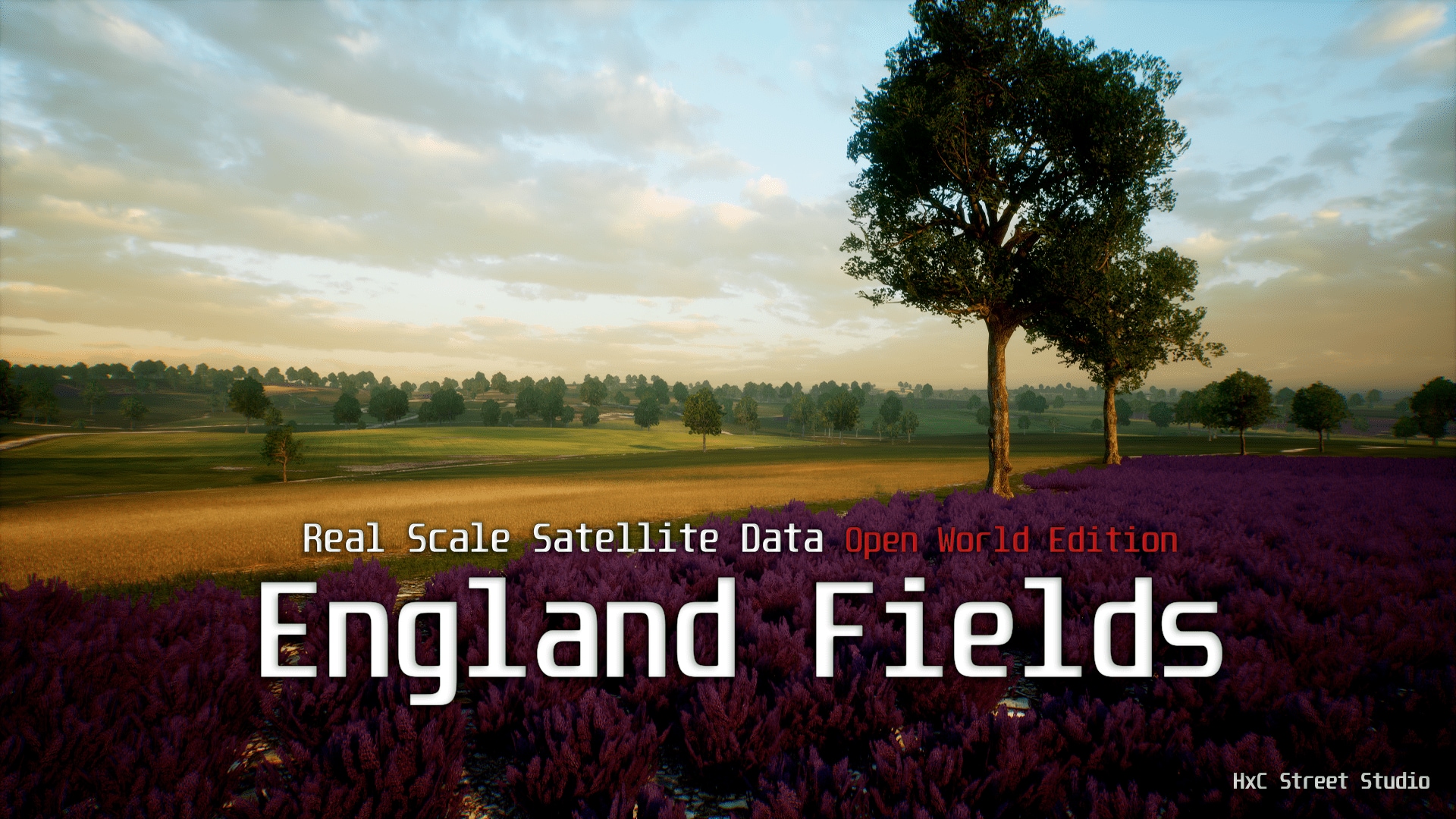
This edition of "Real scale satellite data" has been created for fully playable massive stages.
All the creation of this world has been based on processed satellite data.
The product has numerous parameters to customize the shader to your liking.
Includes 3 types of automatic foliage (Grass, Wheat, Lavender), and 2 tree variations (Walnut tree)
You can also paint the different layers on the terrain and then, bake the result to the mesh lods. For more information, check the documentation.
Update 1.1:
Added Runtime Virtual Texture Support (view documentation, page 13)
Technical Details
Features:- 400 Km2 real scale terrain, completly playable
- Landscape Heightmap, and Weightmaps from processed Satellite Data
- Multiple parameters for texture variation
- Automatic Foliage with Landscape ColorMap
- Advanced Height blend
- Distance Tessellation
- Normal Variations
- Clouds Light Functions
- Landscape Mesh LOD System
- Sky Dome Setup
-RVT Support
Landscape Layers:
1 PBR 4k soil textures, 1 PBR 4k grass textures, 1 PBR 4k wheat textures, 1 PBR 4k gravel textures
Foliage Types:
1 grass, 1 wheat, 1 lavender
Trees:
2 Walnut tree Variations
Texture Sizes:
Up to 8192
Collision: Yes (automatically generated)
Vertex Count: 187.995
Number of Meshes: 109
Number of Materials and Material Instances: 113 Materials, 15 Instanced Materials
Number of Textures: 243
Supported Development Platforms: PC/PS4/Xbox One
Supported Target Build Platforms: PC/PS4/Xbox One
Important/Additional Notes: Please contact me at [email protected] if you have any question.


